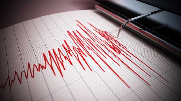
On Sunday, an earthquake struck off the coast of Mexico which registered a magnitude of 6.4, the Daily Caller reported.
While the US Geological Survey detected a 6.4 magnitude earthquake, the US Tsunami Warning System registered the magnitude of the quake at 6.6.
According to the US Geological Survey, the quake hit at 4:30 pm Eastern Standard Time in the Gulf of California, just 105 kilometers east/southeast of La Rivera, Mexico. Fault waves from the earthquake hit the resort cities on the southern tip of Baja California Sur and the coastal cities of the Mexican state of Sinaloa.
The shaking effect at the quake’s epicenter was measured at 7.5, but as the fault waves struck the coasts, the intensity reduced to between 3.5 and 4.0, according to the US Geological Survey.
No tsunami advisory, watch, warning, or threat was issued by the US Tsunami Warning System.
While residents living along the coasts of the two Mexican states were likely to have felt some vibrations or rocking sensations inside a building or vehicle, given the light intensity, it is unlikely any structural damage was caused.
The US Geological Survey noted that some locals may not have realized that an earthquake occurred. However, some residents did submit comments to the Geological Survey’s “Did You Feel It?” page on its website, including at least two comments from California residents from Santa Clarita and Los Angeles.
Earlier this month, a 3.3 magnitude quake was reported in the northern Gulf of Mexico southeast of Venice, Louisiana, WKRG reported. An earthquake in this region is rare since there are no fault lines or tectonic plates.
In April, it was reported that a 5.2 magnitude quake hit near the coast of southern Mexico, about 60 miles from the resort city of Acapulco.


